

)
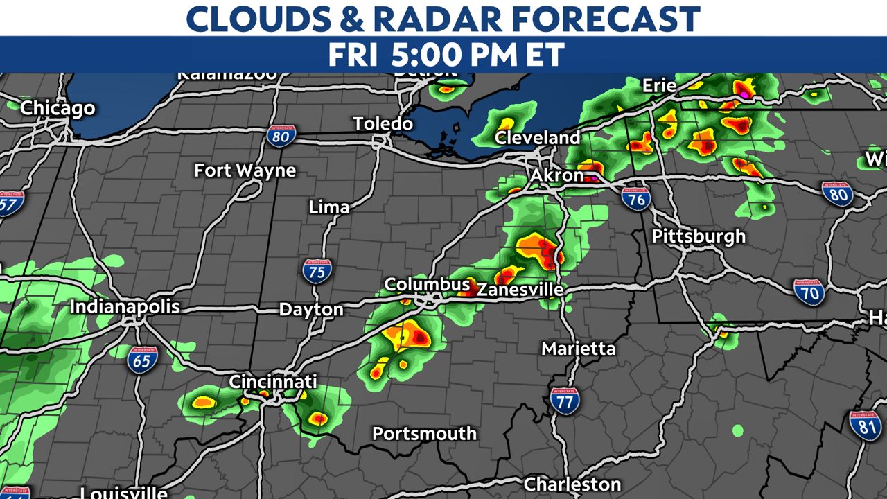
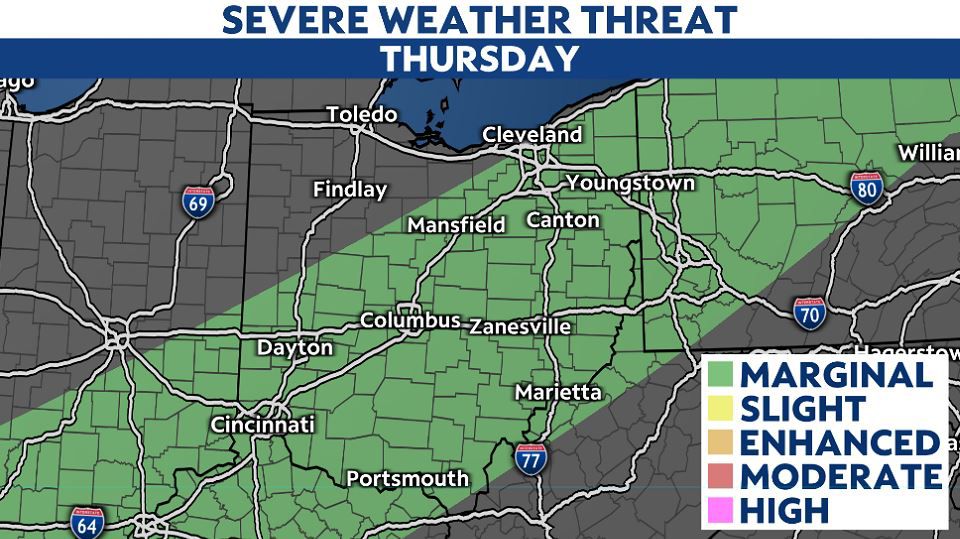
OHIO — By mid-morning, a line of gusty showers and storms will approach northwest Ohio.
As this pre-frontal line of storms interacts with warm and humid air, we will likely see an increase in intensity with these storms as they move southeast through lunchtime.
)
Storm movement looks to be very fast so if you get a warning try to react as quickly as possible.
All modes of severe weather are possible, but it looks like the way storms line up, damaging winds will be the primary threat.
)
We could also see isolated tornadoes and damaging hail.
Storms with lightning and quick downpours are possible during after school games, practices and the evening commute.
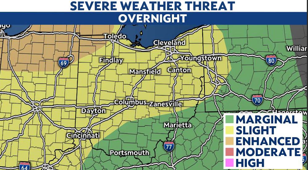
Severe weather remains possible through the early evening, so we don't need to worry about warnings overnight, but a daytime severe weather event can be a problem since many people are out and about.
)
A severe thunderstorm can create damaging, straight-line winds up to 70 mph so make sure you get into your safe spot even if it's not a tornado warning.
The actual cold front will come in late evening and a few gusty storms are possible but the severe threat should be waning near sunset.
)
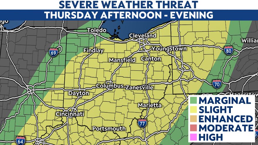
Cooler and drier air will come in for Wednesday before more rain and storms return for Thursday and Friday.
-1)