


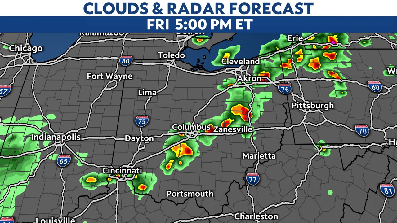
We have already seen some hail close to 2" in diameter in some severe storms this afternoon.
A few rounds of severe weather are possible for the rest of your Friday.
Damaging winds up to 70 mph and golf ball sized hail are possible.

Be prepared for high wind or possible power outages.
This afternoon, severe storms will be scattered, but this evening near the tri-state area we may see a more likely threat for damaging winds.
The highest threat for severe wind or hail will be along and southeast of I-71.
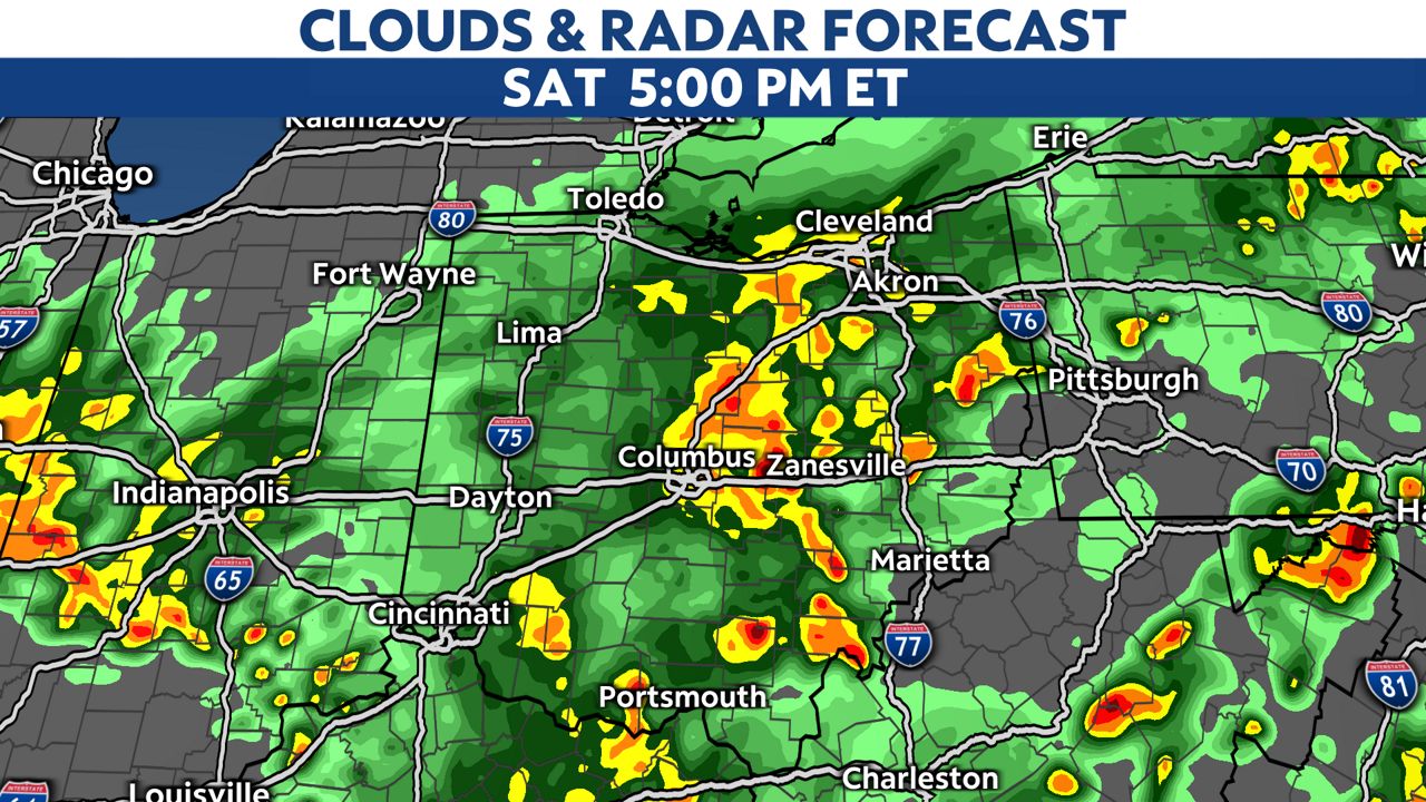
Overnight, skies will be mainly dry but we can expect more rain and even a few storms for Saturday.
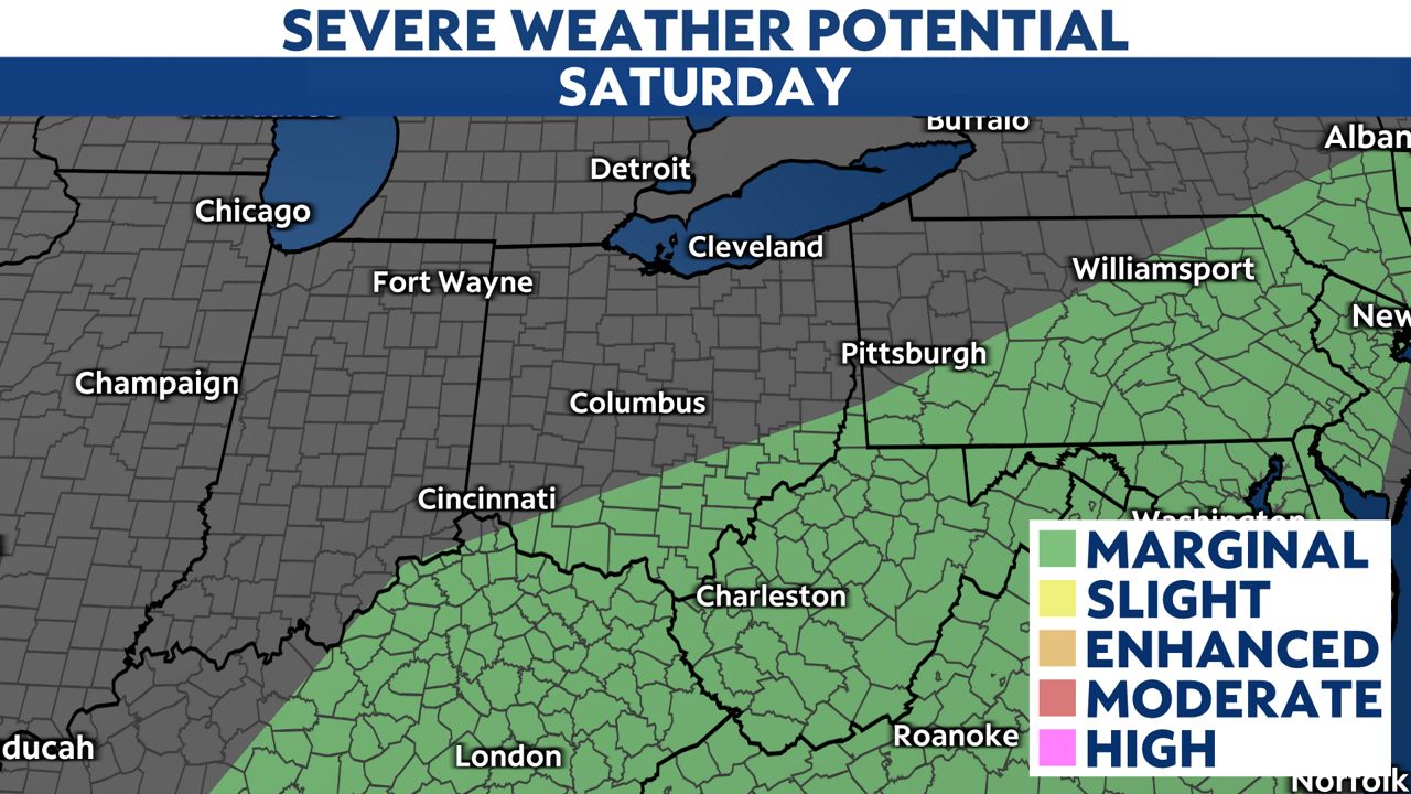
There is a level 1 out of 5 risk for severe weather on Saturday for south-central and southeastern Ohio.
It looks more of an inside-plan weekend with a cool and rainy pattern through Sunday.