


OHIO — While there will be showers with a few storms before lunchtime, severe weather is more likely this afternoon.
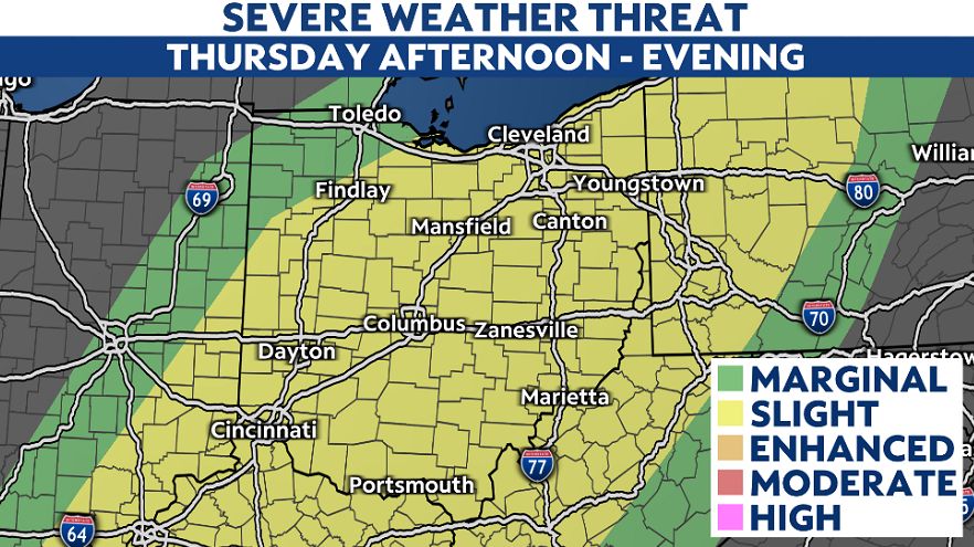
On Thursday, there's a statewide risk for isolated strong to severe storms throughout much of the state. Storms capable of producing damaging strong wind gusts up to 60-70 mph, along with hail, lighting and heavy rain.
The tornado threat is very low but we can't rule out an isolated risk with severe weather potential.
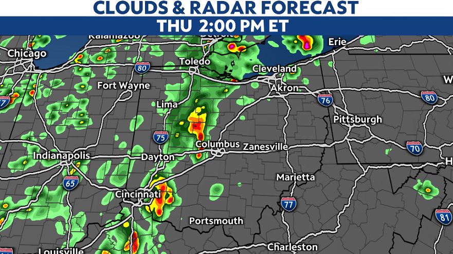
Storms begin to pop by 2 p.m. then quickly race east.
Additional scattered showers and storms develop late afternoon through the evening hours.
The severe weather threat should diminish by 10 p.m. to 11 p.m. as storms weaken by midnight.

Rain chances with more thunder will be possible on Friday, but severe weather isn't as likely. Our pattern does stay wet through the start of the weekend as showers persist into Saturday as well.