

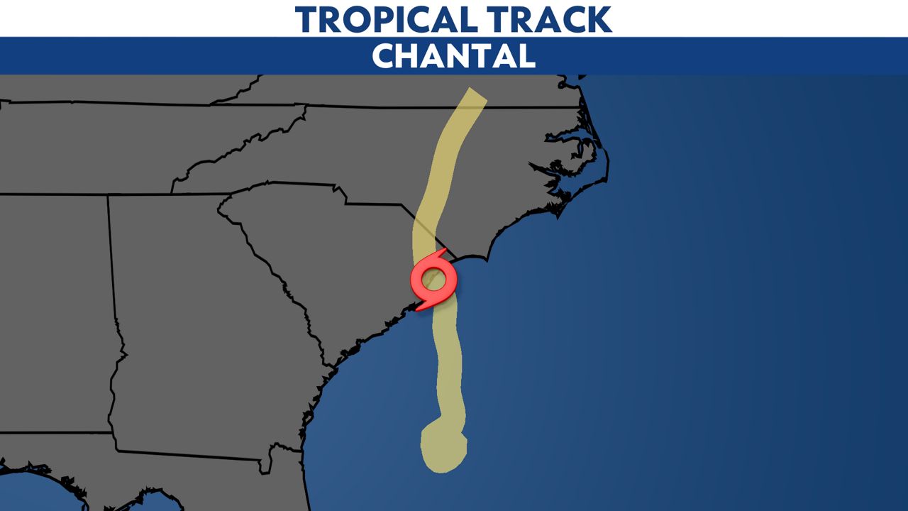
Chantal has become post-tropical as continues to move through the Mid-Atlantic. It’s expected to dissipate later Monday with some additional rainfall and flooding potential across parts of eastern Virginia, Maryland, Delaware and Pennsylvania.
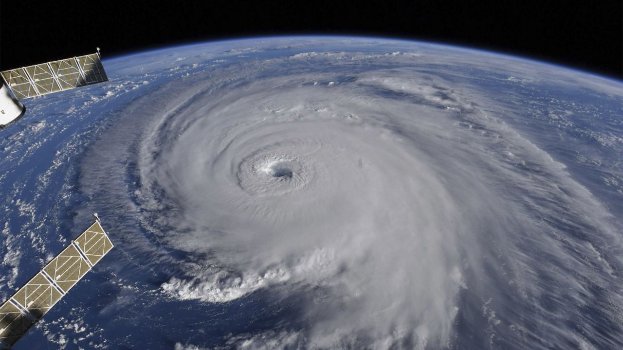
Chantal began as Tropical Depression Three, forming off the coast of northeast Florida. It became Tropical Storm Chantal one day later, on July 5.
It made landfall just one day after forming, moving inland near Litchfield Beach, South Carolina, as a tropical storm with winds of 60 mph on July 6. Chantal was the first storm to make landfall in the U.S. during the 2025 Atlantic hurricane season.
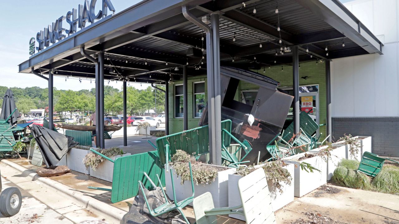
The highest winds reported were in Myrtle Beach at the Springmaid Pier, with gusts up to 56 mph. An EF0 tornado also touched down in Wilmington, N.C., causing minor home damage and extensive tree damage.
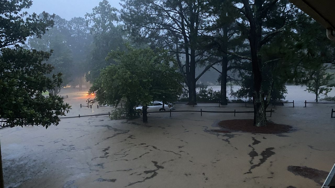
Heavy rainfall and flash flooding were the biggest impacts from Chantal. Radar-estimated rainfall totals up 9 to 12 inches were recorded in parts of North Carolina between Raleigh and Greensboro, causing significant flooding around Chapel Hill and nearby rivers.
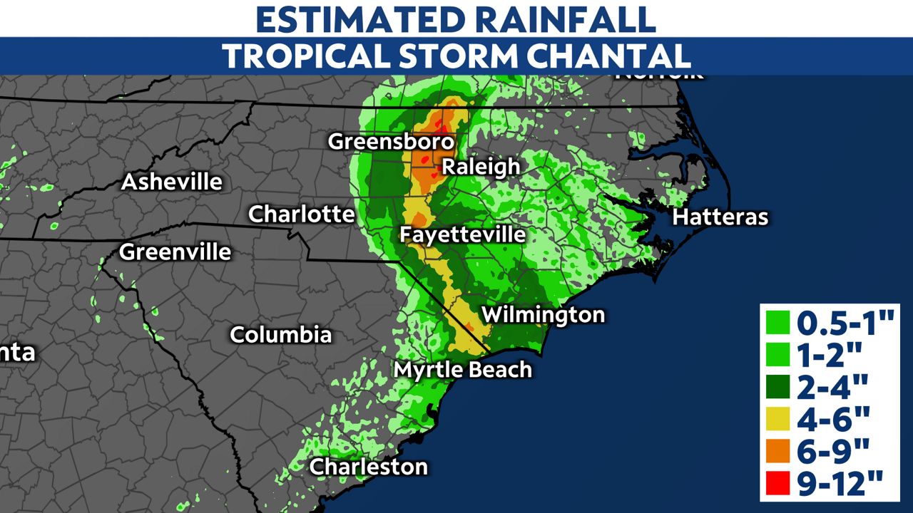
Chapel Hill Fire Department said it performed roughly 50 rescues since Sunday morning. First responders also rescued people in Durham after the Eno River hit major flood stage. Flooding on the Haw River shut down I-85 and I-40 in Alamance County after Chantal moved through.
There are no more watches and warnings in effect.
Our team of meteorologists dives deep into the science of weather and breaks down timely weather data and information. To view more weather and climate stories, check out our weather blogs section.