


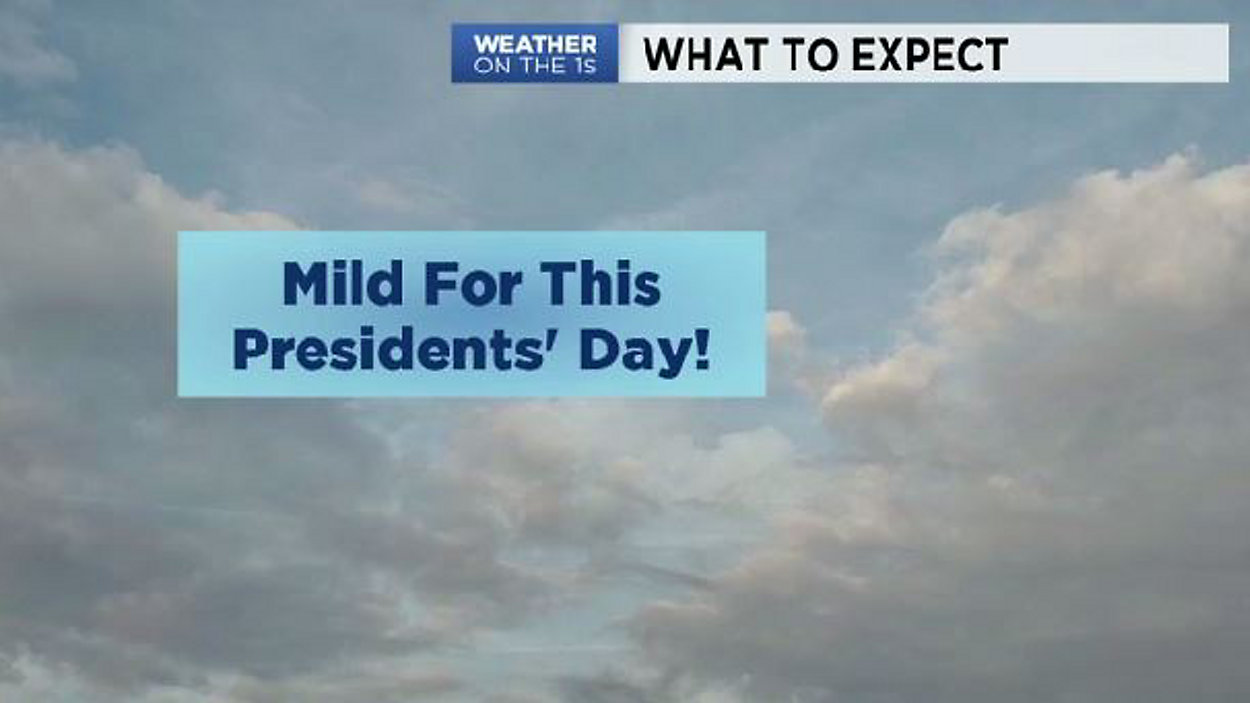
A warm front will lift north today, and it'll expose our area to milder weather this afternoon. As the front lifts north, it could spark spotty showers for areas closest to the Ohio River. Otherwise, it'll be mainly cloudy with Highs hovering around 60°. These highs will be roughly 10-15 degrees above the average for this time of year. So, enjoy the mild start to the week. It is Presidents' Day, and many have the day off. So, if you have outdoor plans...the weather looks cooperative.
Overnight, it'll remain unseasonably warm courtesy of a southerly wind. Lows will stay in the upper 40s to low 50s across the state, but rain chances gradually increase overnight ahead of an approaching cold front. Expect a likely chance for rain for the Tuesday morning commute. Allow extra travel time (if possible) due to wet roads. Showers will gradually taper off from west to east as a cold front crosses the state. Highs will, again, be above average (50s) until the front crosses. Behind the front, temps gradually cool down...ending up in the upper 20s & low 30s by Wednesday morning.
Expect quiet weather Midweek into the weekend with chillier weather through Saturday morning. Actually, get ready for some frigid mornings this week... with teens both Friday and Saturday morning due to a Canadian Ridge of High Pressure sliding over our region. Temps rebound into the 50s for Saturday and Sunday afternoon.