


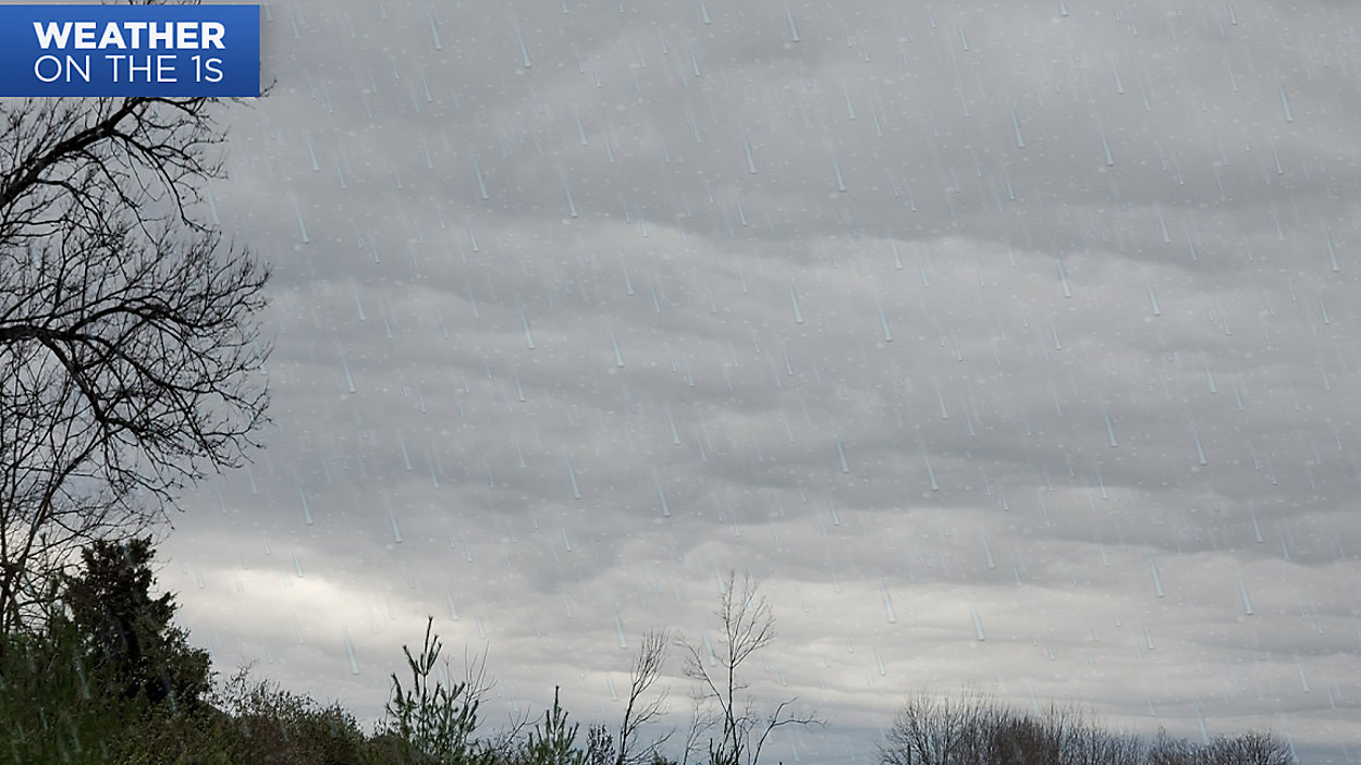
We are starting the weekend off on a not so pleasant note. Although we’re overall drier than Friday, we’re colder. Temperatures will not climb much today, only reaching the upper 30s to around 40 for most of the Commonwealth. A few sprinkles, areas of drizzle, or flurries will remain possible today through this evening. The area with the highest chance of snow will be in far northern Kentucky this evening. Whatever falls, rain or snow, should be very light.
Tonight, skies will remain mostly cloudy with some partial clearing possible across western Kentucky. However, clouds will build back in, eventually leading to a chance for rain across central and southern Kentucky tomorrow night. Highs on Sunday will be back in the 40s, which is close to average for late January.