


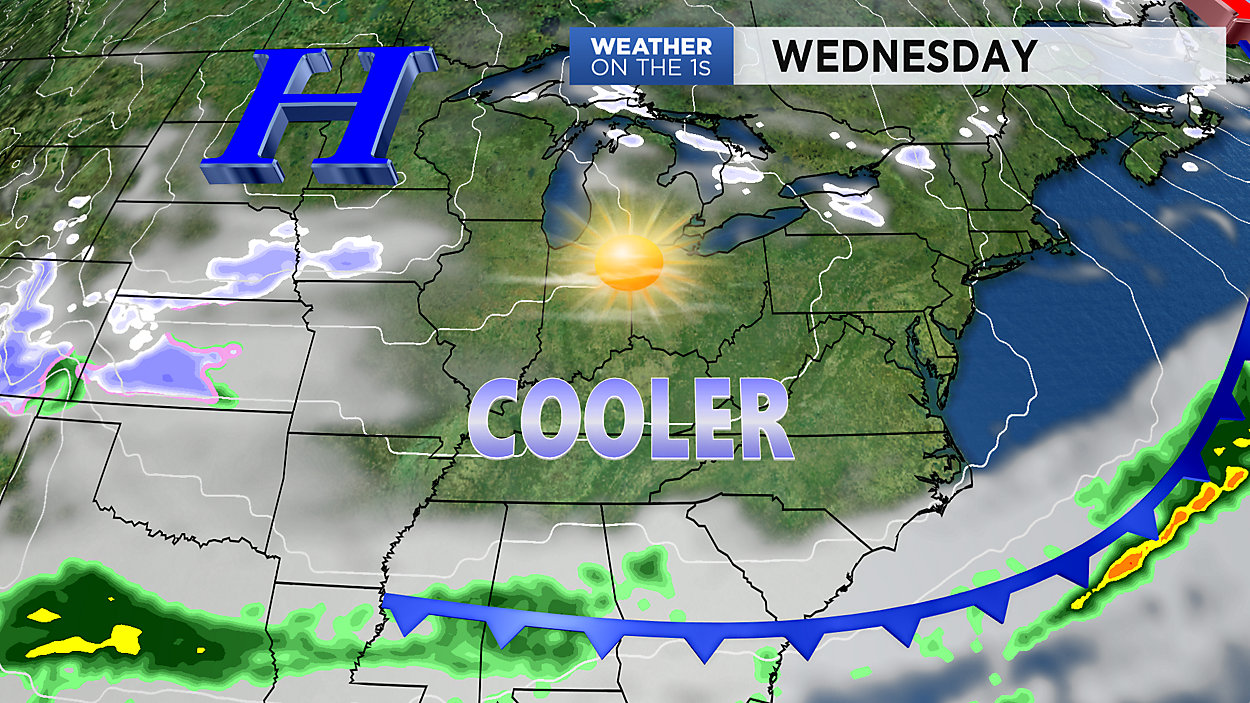
The cold front that swept across the Commonwealth Tuesday afternoon will bring cooler air into the area tonight. Temperatures will tumble down into the upper 20 to lower 30s by sunrise Wednesday. Highs Wednesday afternoon will only make it to the lower to middle 40s under partly cloudy skies.
A storm system passing just to our south will bring clouds back to the area Thursday, with no precipitation expected across Kentucky. Thursday will be the coolest day of the week with afternoon highs in the middle to upper 30s. As clouds clear out Thursday night, expect temperatures to dive into the upper teens to lower 20s by Friday morning. Sunshine will return Friday, but it will still be cool with highs in the upper 30s to lower 40s.
After another cold one Friday night, expect temperatures to climb all the way into the upper 40s to lower 50 on Saturday afternoon under mostly sunny skies. Clouds return Sunday with rain following into the afternoon and evening. Rain showers will stick around into Monday with highs near 50 degrees. Dry conditions return by Tuesday with highs in the lower 50s.